Created sometime between 1838 and 1840, these maps provide a really great view into the county at the time.
Maps of Oakland County townships as surveyed and drawn by Bela Hubbard. The 1840 date is inconclusive - it could be anywhere between 1838 and 1841 based on features and structures indicated on the maps as well as loose documentary evidence. Per John Marshall from the Bloomfield Historical Society: "The bound volume at the Burton Historical Collection containing these maps is labeled Michigan Maps – Hubbard V. 8, Oakland and Livingston Counties. The call number is 977.4 [1838 – 1841] H86 V.8"
-
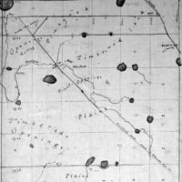
01-5N7E- Holly Township
-
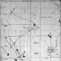
02-5N8E - Groveland Township
-
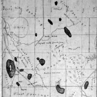
03-5N9E - Brandon Township
-
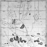
04-5N10E - Oxford Township
-
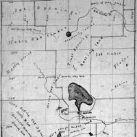
05-5N11E - Addison Township
-
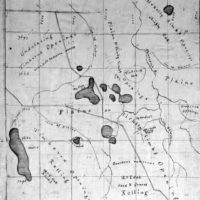
06-4N7E - Rose Township
-
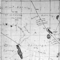
07-4N8E - Springfield Township
-
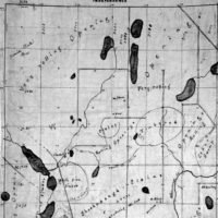
08-4N9E - Independence Township
-
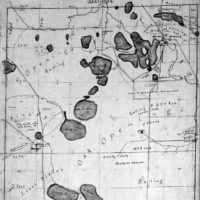
09-4N10E - Orion Township
-
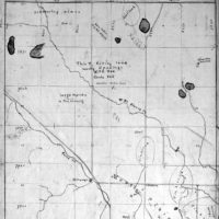
10-4N11E - Oakland Township
-
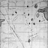
11-3N7E - Highland Township
-
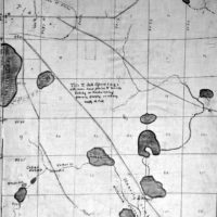
12-3N8E - White Lake Township
-
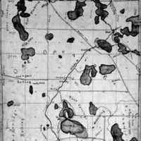
13-3N9E - Waterford Township
-
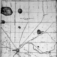
14-3N10E - Pontiac Township
-
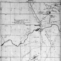
15-3N11E - Avon Township
-
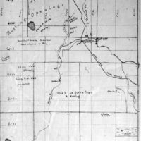
16-2N7E - Milford Township
-
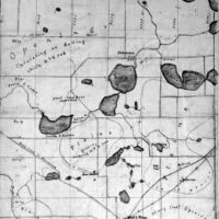
17-2N8E - Commerce Township
-
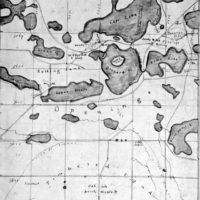
18-2N9E - West Bloomfield Township
-
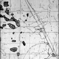
19-2N10E - Bloomfield Township
-
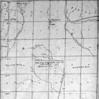
20-2N11E - Troy Township
-
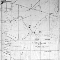
21-1N7E- Lyon Township
-
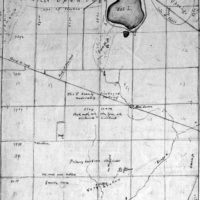
22-1N8E - Novi Township
-
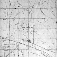
23-1N9E - Farmington Township
-
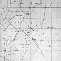
24-1N10E - Southfield Township
-
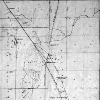
25-1N11E - Royal Oak Township
-
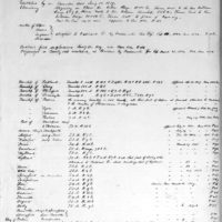
Bela-Hubbard - Index to Maps
-
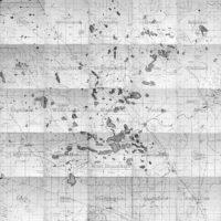
Assembled County Map - 72 DPI - Medium
-
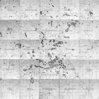
Assembled County Map - 72 DPI - Large
