The OCPHS Online Map Collection
These are the maps we love!
To learn how to get the most out of these maps, please take a moment and watch this great video by Carol Bacak-Egbo, historian for Oakland County Parks:
Using Historic Maps – Facebook Video by Carol Bacak-Egbo
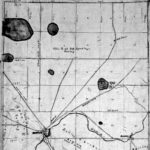
| Sometime between 1838 and 1840, Bela Hubbard, a prominent Detroit land speculator, surveyed Oakland County. The primary focus of these maps is on land conditions. Foliage, geography and routes in and out of each township are prominent.
These maps were drawn to provide information for potential landowners. |
|
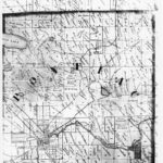
| The 1857 map of Oakland County is a rare map. There are about 20 copies known to exist. They are five feet wide by 6 feet high. Some are on display at government buildings and historical societies around the county, while others are in storage. Around the map border, they highlight prominent businesses, homes, business listings and villages. Along with including landowner names for each property, they show churches, schools, mills, and rail lines (even ones that were never built). | |
| The first bound volume of county plat maps, this book is in use around the county at historical societies. Along with the churches, schools, mills and other prominent businesses, they show landowners for each plat, and also have detailed village maps.
Aside from this website, there are very few online resources for this plat book. |
|
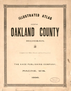
1896 Illustrated Atlas of Oakland County |
A progression from the 1872 plat book, this is probably the most accurate (in terms of surveying) map of its time. Along with this site, this book is available online at university websites. |
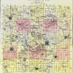
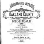
| The last of the large bound plat books, this is also available at historical societies. Along with this site, this book is available online at university websites. |
And purely for fun:
Years: 1817 – 1823 – Land Ordinance Survey Maps of Early Oakland County
