This map collection is a set of photos of a very large (about 5 feet wide by 6 feet high) map of Oakland County. The original of this particular map is located in the Board of Commissioners Auditorium Building in the Oakland County Complex.
It is one of 300 made, of which about 20 are known to exist. If you would like to learn the history of the maps, an article from our 1992 Oakland Gazette covers it pretty well.
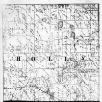
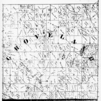
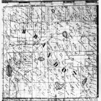
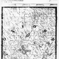
The images here are a bit blurry. This is the result of the photographic process, and because they are optimized for web browsers. Higher resolution images are available from OCPHS – contact office@ocphs.org for more information.
These photographs were donated to OCPHS by the Oakland County Research Library in 2018. There are 68 images in the collection.
Clicking on an image below opens a new tab in your browser.
1857 Map of Oakland County, F. Hess Surveyor.
Published by F. H. Burhans, Cincinnati, OH.
-
![1857 Map - Township Plat - Holly Township]()
1857 Map - Township Plat - Holly Township
-
![1857 Map - Township Plat - Groveland Township]()
1857 Map - Township Plat - Groveland Township
-
![1857 Map - Township Plat - Brandon Township]()
1857 Map - Township Plat - Brandon Township
-
![1857 Map - Township Plat - Oxford Township]()
1857 Map - Township Plat - Oxford Township
-
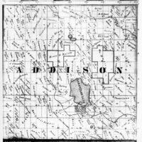
![1857 Map - Township Plat - Addison Township]()
1857 Map - Township Plat - Addison Township
-
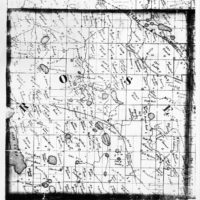
![1857 Map - Township Plat - Rose Township]()
1857 Map - Township Plat - Rose Township
-
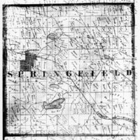
![1857 Map - Township Plat - Springfield Township]()
1857 Map - Township Plat - Springfield Township
-
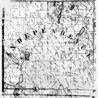
![1857 Map - Township Plat - Independence Township]()
1857 Map - Township Plat - Independence Township
-
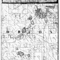
![1857 Map - Township Plat - Orion Township]()
1857 Map - Township Plat - Orion Township
-
![1857 Map - Township Plat - Oakland Township]()
1857 Map - Township Plat - Oakland Township
-
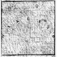
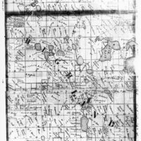
![1857 Map - Township Plat - Highland Township]()
1857 Map - Township Plat - Highland Township
-
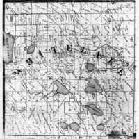
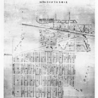
![1857 Map - Township Plat - White Lake Township]()
1857 Map - Township Plat - White Lake Township
-
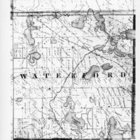
![1857 Map - Township Plat - Waterford Township]()
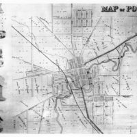
1857 Map - Township Plat - Waterford Township
-
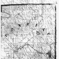
![1857 Map - Township Plat - Pontiac Township]()
1857 Map - Township Plat - Pontiac Township
-
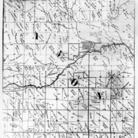
![1857 Map - Township Plat - Avon Township]()
1857 Map - Township Plat - Avon Township
-
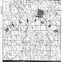
![1857 Map - Township Plat - Milford Township]()
1857 Map - Township Plat - Milford Township
-
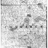
![1857 Map - Township Plat - Commerce Township]()
1857 Map - Township Plat - Commerce Township
-
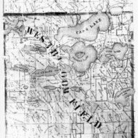
![1857 Map - Township Plat - West Bloomfield Township]()
1857 Map - Township Plat - West Bloomfield Township
-
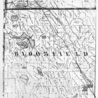
![1857 Map - Township Plat - Bloomfield Township]()
1857 Map - Township Plat - Bloomfield Township
-
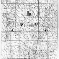
![1857 Map - Township Plat - Troy Township]()
1857 Map - Township Plat - Troy Township
-
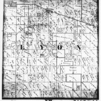
![1857 Map - Township Plat - Lyon Township]()
1857 Map - Township Plat - Lyon Township
-
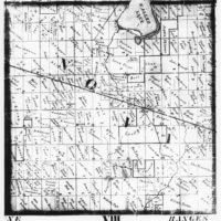
![1857 Map - Township Plat - Novi Township]()
1857 Map - Township Plat - Novi Township
-
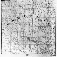
![1857 Map - Township Plat - Farmington Township]()
1857 Map - Township Plat - Farmington Township
-
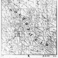
![1857 Map - Township Plat - Southfield Township]()
1857 Map - Township Plat - Southfield Township
-
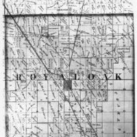
![1857 Map - Township Plat - Royal Oak Township]()
1857 Map - Township Plat - Royal Oak Township
-
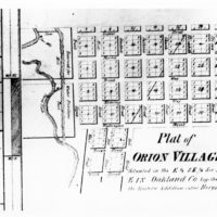
![1857 Map - Plat - Orion Village - Orion]()
1857 Map - Plat - Orion Village - Orion
-
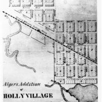
![1857 Map - Plat - Village of Holly Algers Addition]()
1857 Map - Plat - Village of Holly Algers Addition
-
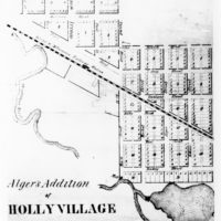
![1857 Map - Plat - Holly Village Algers Addition - Holly]()
1857 Map - Plat - Holly Village Algers Addition - Holly
-
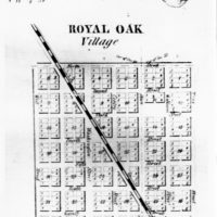
![1857 Map - Plat - Royal Oak Village - Royal Oak]()
1857 Map - Plat - Royal Oak Village - Royal Oak
-
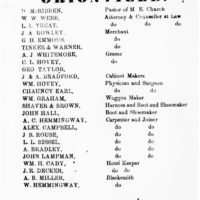
![1857 Map - Bus. Listings - Orionville - Orion]()
1857 Map - Bus. Listings - Orionville - Orion
-
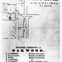
![1857 Map - Plat & Bus. Listings - Oakwood Village - Brandon/Oxford Twp.]()
1857 Map - Plat & Bus. Listings - Oakwood Village - Brandon/Oxford Twp.
-
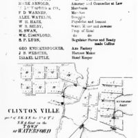
![1857 Map - Bus. Listings - Farmington - Farmington Twp.; Plat - Clintonville - Waterford Twp.]()
1857 Map - Bus. Listings - Farmington - Farmington Twp.; Plat - Clintonville - Waterford Twp.
-
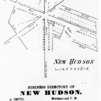
![1857 Map - Plat - New Hudson Village, Lyon Twp.]()
1857 Map - Plat, New Hudson Village, Lyon Twp.
-
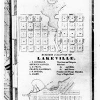
![1857 Map - Plat & Bus. Listings - Lakeville Village - Addison]()
1857 Map - Plat & Bus. Listings - Lakeville Village - Addison
-
![1857 Map - Plat - Davisburgh - Springfield Twp.]()
1857 Map - Plat - Davisburgh - Springfield Twp.
-
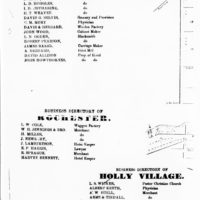
![1857 Map - Bus. Listings - Milford Village, Rochester Village, Holly Village]()
1857 Map - Bus. Listings - Milford Village, Rochester Village, Holly Village
-
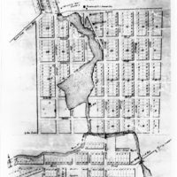
![1857 Map - Plat - North and South Milford - Milford Twp.]()
1857 Map - Plat - North and South Milford - Milford Twp.
-
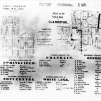
![1857 Map - Plat - Niles Corners - Troy; Plat - Clarkston - Independence; Bus. Listings - Springfield, Novi Center, Franklin, White Lake, Oxford]()
1857 Map - Plat - Niles Corners - Troy; Plat - Clarkston - Independence; Bus. Listings - Springfield, Novi Center, Franklin, White Lake, Oxford
-
![1857 Map - Plat - Village of Pontiac]()
1857 Map - Plat - Village of Pontiac
-
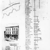
![1857 Map - Bus. Listings - Village of Pontiac]()
1857 Map - Bus. Listings - Village of Pontiac
-
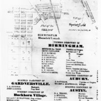
![1857 Map - Plat - Birmingham, Springfleld Village; Bus. Listings - Birmingham, Auburn, Austin, Buckhorn, Gardnersville]()
1857 Map - Plat - Birmingham, Springfleld Village; Bus. Listings - Birmingham, Auburn, Austin, Buckhorn, Gardnersville
-
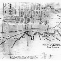
![1857 Map - Plat - Village of Rochester - Avon Twp.]()
1857 Map - Plat - Village of Rochester - Avon Twp.
-
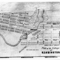
![1857 Map - Plat - Kensington Village - Lyon Twp.]()
1857 Map - Plat - Kensington Village - Lyon Twp.
-
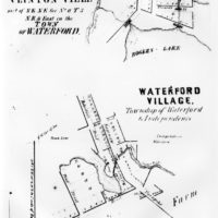
![1857 Map - Plat - Village of Waterford - Waterford Twp.]()
1857 Map - Plat - Village of Waterford - Waterford Twp.
-
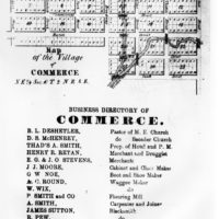
![1857 Map - Plat & Bus. Listings - Village of Commerce]()
1857 Map - Plat & Bus. Listings - Village of Commerce
-
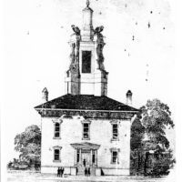
![1857 Map - Buildings - Oakland County Courthouse]()
1857 Map - Buildings - Oakland County Courthouse
-
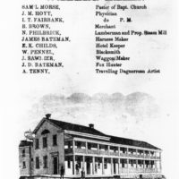
![1857 Map - Buildings - Walled Lake Hotel, E.K. Childs - Commerce Twp]()
1857 Map - Buildings - Walled Lake Hotel, E.K. Childs - Commerce Twp
-
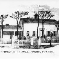
![1857 Map - Buildings - Residence of Joel Loomis - Pontiac]()
1857 Map - Buildings - Residence of Joel Loomis - Pontiac
-
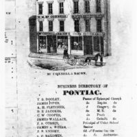
![1857 Map - Buildings - McConnell & Bacon Store, Pontiac]()
1857 Map - Buildings - McConnell & Bacon Store, Pontiac
-
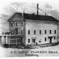
![1857 Map - Buildings - J.C. Davis Flouring Mill, Davisburgh - Springfield]()
1857 Map - Buildings - J.C. Davis Flouring Mill, Davisburgh - Springfield
-
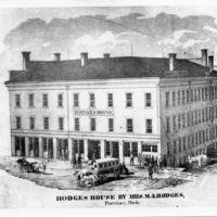
![1857 Map - Buildings - Hotel Hodges, Pontiac]()
1857 Map - Buildings - Hotel Hodges, Pontiac
-
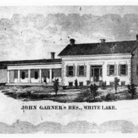
![1857 Map - Buildings - John Garner Residence - White Lake]()
1857 Map - Buildings - John Garner Residence - White Lake
-
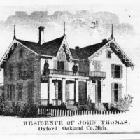
![1857 Map - Buildings - John Thomas Residence, Oxford]()
1857 Map - Buildings - John Thomas Residence, Oxford
-
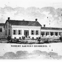
![1857 Map - Buildings - Robert Garner Residence - White Lake]()
1857 Map - Buildings - Robert Garner Residence - White Lake
-
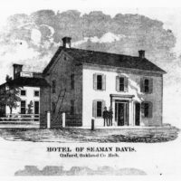
![1857 Map - Buildings -Seaman Davis Hotel, Oxford]()
1857 Map - Buildings -Seaman Davis Hotel, Oxford
-
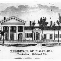
![1857 Map - Buildings - Nelson Clark Residence, Clarkston - Independence]()
1857 Map - Buildings - Nelson Clark Residence, Clarkston - Independence
-
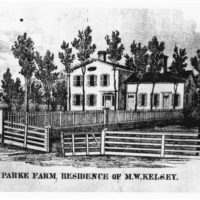
![1857 Map - Buildings - Parke Farm - MW Kelsey Residence - Pontiac]()
1857 Map - Buildings - Parke Farm - MW Kelsey Residence - Pontiac
-
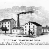
![1857 Map -Buildings - Pontiac Flouring Mills - AB Mathews, Pontiac]()
1857 Map -Buildings - Pontiac Flouring Mills - AB Mathews, Pontiac
-
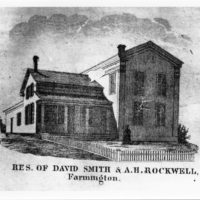
![1857 Map - Buildings - David Smith & A.H. Rockwell Residence - Farmington]()
1857 Map - Buildings - David Smith & A.H. Rockwell Residence - Farmington
-
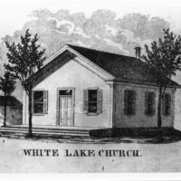
![1857 Map - Buildings - White Lake Church - White Lake]()
1857 Map - Buildings - White Lake Church - White Lake
-
![1857 Map - Buildings - Geo. H Emmons Store - Orionville]()
1857 Map - Buildings - Geo. H Emmons Store - Orionville
-
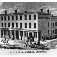
![1857 Map - Buildings - OC & RB Morris Store - Pontiac]()
1857 Map - Buildings - OC & RB Morris Store - Pontiac
-
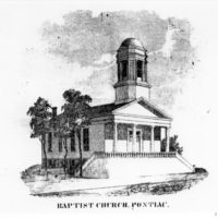
![1857 Map - Buildings - Baptist Church - Pontiac]()
1857 Map - Buildings - Baptist Church - Pontiac
-
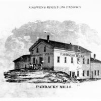
![1857 Map - Buildings - Paddacks Mills - Pontiac]()
1857 Map - Paddacks Mills - Pontiac
-
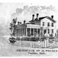
![1857 Map - Buildings - Residence of M. Wisner - Pontiac]()
1857 Map - Buildings - Residence of M. Wisner - Pontiac
-
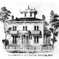
![1857 Map - Buildings - Myrick Residence - Pontiac]()
1857 Map - Buildings - Myrick Residence - Pontiac
-
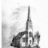
![1857 Map - Buildings - Episcopal Church - Pontiac]()
1857 Map - Buildings - Episcopal Church - Pontiac
Further notes:
- There are 5 versions of this map – and only 5 maps in total. Each one is unique, with different buildings shown around their borders.
- Each map is paper mounted on canvas and sewn together. Their construction does not allow for detailed scanning of the maps.
- Copies of the map are at the Executive Office Building at the Oakland County Complex, Troy Historic Village in their schoolhouse, the Clarkston Public Library, the Warner mansion in Farmington, and Oakland County Pioneer and Historical Society.
- On the township maps, DS indicates a district school. SM indicates a sawmill, and FM indicates a flour or feed mill.
